Strensall Stones - the new hunt for the old.
Like a scarecrow trail but less colourful. But take part any time!
Like Geocaching but without the tat. But you know that the cache will be there!
Strensall Camp, which covers about 1,800 acres (730 hectare) was created by the War Office in 1884 for training troops. The land that formed the common and Lord's Moor itself was bought in 1876 for £300,000 from the then lord of the manor, Leonard Thompson, and other landowners. (Wikipedia)
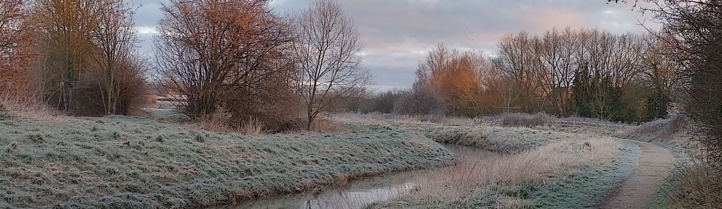
Around the perimeter of the camp, up and down the railway, along the River Foss, were placed 120 stone boundary markers, each marked WD and individually numbered. Most have been lost to redevelopment, water course improvement and road reconstruction (and deliberate removal due to change of land ownership?) over the last 130 years but some still remain and this site is to encourage you to get out there and see how many you can find.
Note: Please, please, please observe any warning / danger signs. Also parts of the common may be considered challenging terrain so make sure you wear appropriate footwear and clothing. Some of the stones may be on private land - listing them on the site does not give you permission to trespass. Above all, use your common sense - do not confuse ambition with ability!
So - where are these stones?
I shall refer to the stones as if they are still there! Stone 1 is at the junction of Strensall Road and Towthorpe Moor Lane (Towthorpe cross roads). They then run along Towthorpe Moor Lane to a point roughly where the entrance to the waste recycling centre is. After a quick detour to the south through Greystone / Damhill Woods they remerge and run along the border between the MoD and Piglets. The course continues roughly north easterly, eventually meeting The Sike, and then follow the side of this watercourse, across York Road, across the railway, up to the point where The Sike enters into farm land. From here they head south westerly, passing the waste treatment works before heading towards the railway. From here they dance around a little before emerging at Strensall Common car park on Lord's Moor Lane. From here they follow the Lane until Cowslip Farm where they then head across country, across railway to Brecks Lane but continue down the footpath to the Foss. After another quick detour up to Lock House they run down the Foss to Strensall Bridge, then back up again! Once again across country with a quick jiggle by the railway they eventually emerge again adjacent to the golf clubhouse. Then down Lord's Moor Lane to the level crossing and back up again, and then follow the footpath alongside Flaxton Road and then Ox Carr Lane before joining up with Strensall Road and eventually back to where we started (stone 120). There is a map on the wall in the Half Moon Inn, the top section shows the location, and numbers, of the stones along part of the River Foss. The bottom half doesn't show anything!
The magical moving stones.
On the 1896 25" Ordnance Survey map stones 53 & 54 were originally south east of the position in the list (at the bottom end of the bivouac (bivuac) camp on the map linked to below). By the time the 1911 edition came out they had relocated, 53 to adjacent to the (now) car park entrance, and 54 down Lord's Moor Lane roughly half way between the car park and Cowslip Farm. Similarly stone 105 was originally on the opposite side of the road from stone 104, but by the 1911 edition it had moved south westerly and a new stone, 105A had been added. The locations given for these stones is the newer arrangement. Whilst on the subject of maps, by the 1930 edition some stones had already ceased to be shown although the reason why can only be conjecture now.
List of the stones (for uploading to Garmin)
List of the stones (for uploading to my SimpleGPS app)
Questions, queries or comments? Admin [at] strensall-stones.co.uk
All images and content not otherwise attributed © 2023- Strensall-stones.co.uk